Where is the middle of nowhere? Depending on what you mean, there are many contenders for that title—remote desert villages and windswept islands come to mind, as does Point Nemo in the Pacific, which is further from land than any other place on Earth. But geography gives us another way to define the answer. The middle of nowhere, according to the cartographic coordinate system, lies at the point (0,0)—zero degrees latitude and zero degrees longitude, where the equator meets the prime meridian. Following those coordinates would put you in the warm waters of the mid-Atlantic, about 354 miles (570 km) off the coast of the African nation of Ghana. It is a lonely place, to be sure. But looking into the digital realm, you will find that it is frantic with activity; its unique coordinates make it a magnet for assorted data from all over the world. This is Null Island, and today we will explore the nature of this mysterious realm, brought into being by the combined quirks of cartography and technology.
Defining the coordinate system

Before diving into the geographic center of the map, we should take a moment to discuss what that means. Why put (0,0) in some random spot in the Atlantic, and not anywhere else on the face of the Earth? It seems arbitrary, and to an extent, it really is, but there is nevertheless a reason for it.
The first “0,” the coordinate for latitude, arises naturally from Earth’s rotation. Since the planet spins on a consistent axis, it has north and south poles, as well as an equator midway between them. This imaginary line separates the northern and southern hemispheres; any point on the globe can be measured in degrees north or south, from zero at the equator to 90 at either pole.

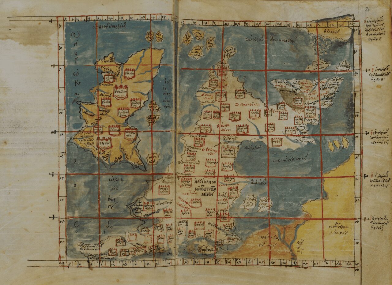
Longitude, defining the eastern and western hemispheres, is the tricky one. Distance from the equator makes the difference between sweltering heat and frigid cold, but what is there to tell you how far east or west you are? Earth’s surface offers no clues for where to place the line of zero longitude—the prime meridian—but if you want a workable system of navigation, you have to pin it down somewhere.
Historical prime meridians have been placed anywhere from the mythical Fortunate Isles to the city of Ujjain in India. The current standard is the IERS Reference Meridian, adopted internationally in 1984, which is a slightly modified version of the earlier Greenwich Meridian; the Greenwich Meridian was itself defined in the 19th century by the Royal Observatory in Greenwich, U.K., the site of numerous important advances in astronomy and navigation. Today, the IERS Reference Meridian runs about 335 feet (102 meters) east of the observatory, continuing from Britain down to France, Spain, West Africa, and then to the Atlantic Ocean, where it intersects the equator. It is there that one can find Null Island.
What’s actually at Null Island?
Null Island is, by itself, frightfully dull. Given that it was staked out by humanity’s artificial coordinate system, we shouldn’t be surprised that nature has placed nothing of interest at that location. It would be a perfectly ordinary stretch of ocean, except for one thing—a solitary weather buoy, bobbing on the water, measuring air temperature, water temperature, and wind speed for the joint US-French-Brazilian PIRATA system. Like other PIRATA buoys, the one at Null Island is named after a genre of music; in this case, the Soul Buoy. The first Soul Buoy was installed in 1997, only to disappear without a trace, and its replacement has been operating continuously since 1998.

The fate of bad geodata
The Soul Buoy is just the tip of the iceberg. Null Island’s true life exists not physically in the South Atlantic, but in the digital sphere, where it numbers among the most frequently visited places on the planet. How could this be? The answer lies in geospatial data, which has wildly proliferated in the era of cell phones and Fitbits. These datasets, called geographic information systems (GIS), map real-world activities onto geographic locations, with every entry having a coordinate associated with it. But as with any technological system, GIS has its glitches; user error, misspelled street names, and bad code create a steady trickle of unusable data, which cannot be geocoded using the normal process. By default, these lost data points are assigned to a “catchall” location, designed to trap errors before they gum up the works—and that location, it just so happens, is at (0,0).
Null Island is notorious in the geospatial community. It was popularized around 2010, when its coordinates were added to Natural Earth’s public domain map dataset, and since then, GIS enthusiasts have taken to the idea of a mysterious virtual land in the Atlantic, creating maps and a flag to celebrate its fictional history. But while it originally started as an in-joke, Null Island has also taken on a life of its own.
Fitness apps and a secret base
For just one example of Null Island’s gravitational pull, let us look at the fitness application Strava. In 2018, Strava published a global “heatmap,” showing the aggregate geodata of all its users around the world. Massive blooms of activity in Los Angeles and in the Netherlands were an expected result; the jogs and swims hundreds of miles off the African coast, not so much. It turned out that some users had been setting their coordinates to (0,0), perhaps for privacy concerns, which had the effect of exiling their workouts all the way to Null Island.
More recently, an enterprising Reddit user on r/conspiracy noticed a strange amount of cryptocurrency traffic taking place at (0,0), cross-referenced that with the Strava data, and concocted a wild theory that it was not a desolate stretch of ocean, but the site of a top-secret military base on hitherto hidden dry land. He, too, had unexpectedly discovered Null Island. Then again, it may have been a prank—which, on the internet, is not a bad assumption.
A land of digital ghosts
Null Island is a land entirely defined by human invention, unlike any other on the face of the Earth. Prior to modern geography, when people pinned down the arbitrary line of the prime meridian, there was nothing at all to distinguish it from the surrounding ocean, and it took the advent of geocoded data points to draw any attention to it—it is a place of fantasy, created as a byproduct of humanity’s drive to map and categorize the world. The sight of a lonely buoy floating on the waters of the Atlantic conceals its true significance; Null Island may not look like much on Google Maps, but thanks to a few chance geographical and technological oddities, it is one lively place.


